Written by Kathryn Youngblood
A geofence is defined as a virtual perimeter for a real-world geographic area. In this case, creating a geofence means drawing a boundary which allows us to clip the Debris Tracker dataset geospatially to only show data in a specific area.
Geofencing Debris Tracker data is a great way to understand trends in an area of interest, or isolate data from a specific event like a cleanup. Follow the steps below to create a custom geofence in the Debris Tracker data platform.
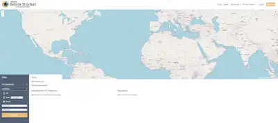
First, select your search parameters from the Filters section. This includes selecting one organization or list - for example, the NOAA Marine Debris list - or selecting all organizations. You can also select which categories - such as plastic, paper, glass, metal - you would like to include, or you can include all categories. Finally, choose an exact data or a range of dates. Note that because of the large amount of data in the historical database the website may only be able to load approximately 6 months of data.
Click “Search” to load data from the database. Wait a few moments for the data to load.
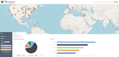
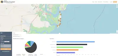
Once the dataset has loaded, you will see the points where items were logged populated on the map, as well as a total number of debris and graphics for the distribution by category and top items. You can also download the raw dataset by clicking “Download Selected Data” under the search bar.
Zoom in to the area of interest.
Click the polygon tool in the upper right hand corner and click on the map to begin drawing your geofence by outlining your area of interest. You can draw any shape.
Connect the start and ending points of the polygon to finish the geofence and clip the dataset. Alternatively, you can click “Finish” next to the polygon tool.
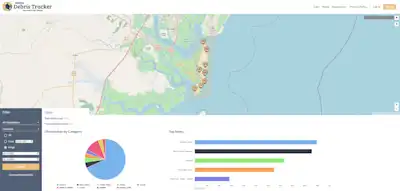
You will see the data you originally loaded is now clipped to a smaller number of total debris; the distribution by category and top items graphics will also update. If you click “Download Selected Data” under the search bar, you can download the raw data only for your geofenced area.
If you have questions about using Debris Tracker or analyzing data that we should cover next, let us know!
